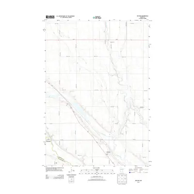
2013 Map of Watson
USGS Topo · Published 2013About this map
The Chippewa River meanders southward through a glaciated landscape, eventually converging with the Minnesota River near the southwestern corner of this survey. The terrain is defined by the Watson Sag, a prominent geological depression that cuts diagonally across the prairie. The village of Watson serves as the primary hub, situated where Us-59 crosses the sag. This area exhibits a well-ordered grid of rural roads, such as 70th St NW and 130th Ave NW, which partition the agricultural lands. Genealogists will find significant local landmarks including the Norwegian Lutheran Cem in the east and the Zion Cem to the northwest, alongside smaller rural features like the Easy Bean Farm and Bethel Camp. The map clearly delineates the Chippewa and Lac qui Parle county boundary as it follows the river's course.
Find a feature on this map
32 named features on this map. Tap any name to fly to it.
Don’t see what you’re looking for? This feature index may not catch every label — zoom into the map to look around manually.
Map Details
Editions of this 2013 Watson Map
This is the sole edition of this map. No revisions or reprints were ever made.
Other maps of this area

1953 · New Ulm
USGS Topo · 1:250,000

1953 · Saint Cloud
USGS Topo · 1:250,000

1957 · Saint Cloud
USGS Topo · 1:250,000

1957 · New Ulm
USGS Topo · 1:250,000

1958 · New Ulm
USGS Topo · 1:250,000

1958 · Saint Cloud
USGS Topo · 1:250,000

1958 · Milan
USGS Topo · 1:24,000

1958 · Big Bend City
USGS Topo · 1:24,000

1958 · Watson
USGS Topo · 1:24,000

1958 · Milan NW
USGS Topo · 1:24,000