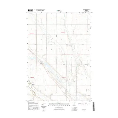
2016 Map of Watson
USGS Topo · Published 2016About this map
The confluence of the Minnesota River and the Chippewa River anchors this study of the landscape in western Minnesota. This river junction, near the boundary of Chippewa Co and Lac Qui Parle Co, is shaped by the broad glacial valley of the Watson Sag. The settlement of Watson sits on the eastern edge of this geologic feature, while Churchill is positioned further west near the Lac Qui Parle Reservoir. The land is meticulously gridded by county roads and avenues, reflecting the agricultural heritage of the region. Local history is preserved in sites such as Zion Cem and the Norwegian Lutheran Cem, providing valuable touchpoints for genealogists. The terrain is further defined by Highland Ridge and smaller tributaries like Dry Weather Cr, illustrating the drainage patterns that have dictated local land use and development.
Find a feature on this map
45 named features on this map. Tap any name to fly to it.
Don’t see what you’re looking for? This feature index may not catch every label — zoom into the map to look around manually.
Map Details
Editions of this 2016 Watson Map
This is the sole edition of this map. No revisions or reprints were ever made.
Other maps of this area

1953 · New Ulm
USGS Topo · 1:250,000

1953 · Saint Cloud
USGS Topo · 1:250,000

1957 · Saint Cloud
USGS Topo · 1:250,000

1957 · New Ulm
USGS Topo · 1:250,000

1958 · New Ulm
USGS Topo · 1:250,000

1958 · Saint Cloud
USGS Topo · 1:250,000

1958 · Milan
USGS Topo · 1:24,000

1958 · Big Bend City
USGS Topo · 1:24,000

1958 · Watson
USGS Topo · 1:24,000

1958 · Milan NW
USGS Topo · 1:24,000