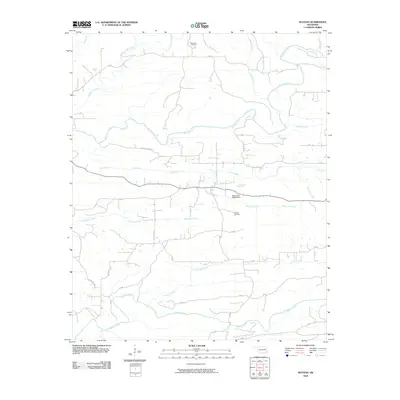
2010 Map of Watson
USGS Topo · Published 2010About this map
Mountain Fork flows through this McCurtain County landscape, defining a region where water management and rural road networks meet. The presence of the Oknoname 089008 Dam on Mud Lick Creek indicates localized infrastructure developed to harness the area's numerous drainage systems, which include Buffalo Creek, Roosevelt Creek, and Little Dry Creek.
Find a feature on this map
33 named features on this map. Tap any name to fly to it.
Don’t see what you’re looking for? This feature index may not catch every label — zoom into the map to look around manually.
Map Details
Editions of this 2010 Watson Map
This is the sole edition of this map. No revisions or reprints were ever made.
Other maps of this area

1890 · Poteau Mountain
USGS Topo · 1:125,000

1899 · Poteau Mountain
USGS Topo · 1:125,000

1900 · Winding Stair
USGS Topo · 1:125,000

1902 · Lukfata
USGS Topo · 1:125,000

1909 · Winding Stair
USGS Topo · 1:125,000

1913 · De Queen
USGS Topo · 1:125,000

1950 · Mcalester
USGS Topo · 1:250,000

1958 · Potter
USGS Topo · 1:62,500

1958 · Zafra
USGS Topo · 1:24,000

1959 · Page
USGS Topo · 1:62,500