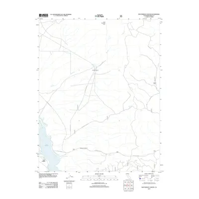
2012 Map of Watterson Canyon
USGS Topo · Published 2012About this map
Lake Crowley defines the southwestern corner of this high-desert landscape, where the shoreline meets the North Landing area. This 2012 survey illustrates a region shaped by drainage and high ridges, notably the Glass Mountain Ridge to the north and the deep incision of Watterson Canyon. The map reveals a network of high-clearance Forest Service roads and ranching-related infrastructure, such as Watterson Troughs and the Clover Patch area.
Find a feature on this map
25 named features on this map. Tap any name to fly to it.
Don’t see what you’re looking for? This feature index may not catch every label — zoom into the map to look around manually.
Map Details
Editions of this 2012 Watterson Canyon Map
This is the sole edition of this map. No revisions or reprints were ever made.
Other maps of this area
1914 · Mt. Morrison
USGS Topo · 1:125,000
1947 · Mariposa
USGS Topo · 1:250,000
1948 · Mariposa
USGS Topo · 1:250,000
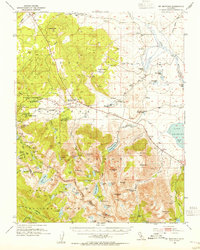
1953 · Mt. Morrison
USGS Topo · 1:62,500
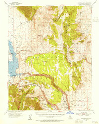
1953 · Casa Diablo Mtn
USGS Topo · 1:62,500
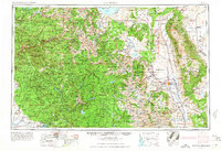
1957 · Mariposa
USGS Topo · 1:250,000
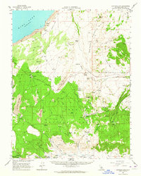
1962 · Cowtrack Mtn
USGS Topo · 1:62,500
1962 · Glass Mountain
USGS Topo · 1:62,500
1963 · Mariposa
USGS Topo · 1:250,000
1983 · Whitmore Hot Sprs
USGS Topo · 1:24,000