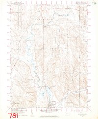
1960 Map of Wattsburg
USGS Topo · Published 1962About this map
French Creek and its meandering West Branch dominate this 1960s landscape, where the rural character of Erie County is defined by small crossroads settlements and agricultural activity. The borough of Wattsburg serves as a focal point near the southern edge, featuring the Fairgrounds and a grid of residential streets. Further north, the settlement of Lowville sits near the confluence of several waterways, including the Bait Ponds and Half Moon Brook.
Find a feature on this map
46 named features on this map. Tap any name to fly to it.
Don’t see what you’re looking for? This feature index may not catch every label — zoom into the map to look around manually.
Map Details
Editions of this 1960 Wattsburg Map
4 editions found
Other maps of this area

1905 · Clymer
USGS Topo · 1:62,500

1913 · North East
USGS Topo · 1:62,500

1915 · North East
USGS Topo · 1:62,500

1929 · Corry
USGS Topo · 1:48,000

1929 · Union City
USGS Topo · 1:62,500

1932 · Corry
USGS Topo · 1:62,500

1932 · Union City
USGS Topo · 1:62,500

1939 · Clymer
USGS Topo · 1:62,500

1941 · Clymer
USGS Topo · 1:62,500

1943 · North East
USGS Topo · 1:62,500