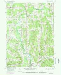
1960 Map of Wattsburg
USGS Topo · Published 1989About this map
The borough of Wattsburg anchors this 1960s study of the Upper French Creek valley, where the Pennsylvania and New York border cuts through a landscape of glacial lowlands and wooded ridges. The winding course of French Creek and its tributaries, including West Branch French Creek and Alder Brook, defines the settlement patterns of rural Erie County. Small clusters of local history are evident at Lowville and Little Hope, while the presence of the Township Sch and Fairgrounds near the southern edge reflects the area's agricultural and community hubs.
Find a feature on this map
51 named features on this map. Tap any name to fly to it.
Don’t see what you’re looking for? This feature index may not catch every label — zoom into the map to look around manually.
Map Details
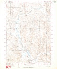
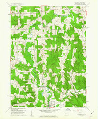
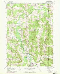
Editions of this 1960 Wattsburg Map
4 editions found
Other maps of this area

1905 · Clymer
USGS Topo · 1:62,500

1913 · North East
USGS Topo · 1:62,500

1915 · North East
USGS Topo · 1:62,500

1929 · Corry
USGS Topo · 1:48,000

1929 · Union City
USGS Topo · 1:62,500

1932 · Corry
USGS Topo · 1:62,500

1932 · Union City
USGS Topo · 1:62,500

1939 · Clymer
USGS Topo · 1:62,500

1941 · Clymer
USGS Topo · 1:62,500

1943 · North East
USGS Topo · 1:62,500