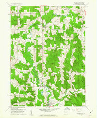
1960 Map of Wattsburg
USGS Topo · Published 1962About this map
French Creek and its tributary, the West Branch French Creek, dominate this rural borderland landscape where Pennsylvania meets New York. The borough of Wattsburg anchors the southern portion of the map, situated just downstream from the Fairgrounds and the distinctive Bull Ponds. This 1960 field-checked survey reveals a region defined by scattered agricultural settlements like Little Hope, Lowville, and Colts Station. The terrain is characterized by woodlots and game management areas, including State Game Lands No 191 and No 155. Small local landmarks such as the Cem in Venango and the crossroads at Ashton Corners provide specific points of interest for genealogists tracing family roots in Erie and Chautauqua Counties. The map captures the quiet, mid-century character of these townships before modern development further altered the drainage patterns of Dutton Brook and Mina Brook.
Find a feature on this map
26 named features on this map. Tap any name to fly to it.
Don’t see what you’re looking for? This feature index may not catch every label — zoom into the map to look around manually.
Map Details
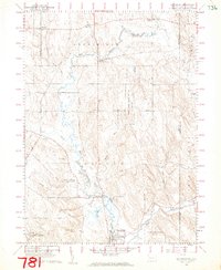
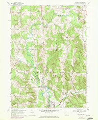
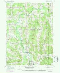
Editions of this 1960 Wattsburg Map
4 editions found
Other maps of this area

1905 · Clymer
USGS Topo · 1:62,500

1913 · North East
USGS Topo · 1:62,500

1915 · North East
USGS Topo · 1:62,500

1929 · Corry
USGS Topo · 1:48,000

1929 · Union City
USGS Topo · 1:62,500

1932 · Corry
USGS Topo · 1:62,500

1932 · Union City
USGS Topo · 1:62,500

1939 · Clymer
USGS Topo · 1:62,500

1941 · Clymer
USGS Topo · 1:62,500

1943 · North East
USGS Topo · 1:62,500