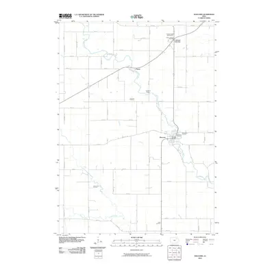
2010 Map of Waucoma
USGS Topo · Published 2010About this map
The Little Turkey River meanders through this portion of Fayette County, serving as the geographic heart of the settlement at Waucoma. This river valley landscape is defined by its agricultural grid and a series of small rural communities, including Jackson Junction to the north and the small locale of Navan. The importance of local civic and religious life is evident in the numerous burial grounds documented across the township, such as Saint Johns Cemetery and Saint Rose Cemetery. Transportation is anchored by the diagonal corridor of Iowa Highway 24, which links these communities across the drainage of Dry Run and Simpson Creek. Public services remain centered in the village hubs, marked by the Waucoma Post Office and the Jackson Junction Post Office, which continue to anchor these long-standing Iowa settlements.
Find a feature on this map
57 named features on this map. Tap any name to fly to it.
Don’t see what you’re looking for? This feature index may not catch every label — zoom into the map to look around manually.
Map Details
Editions of this 2010 Waucoma Map
This is the sole edition of this map. No revisions or reprints were ever made.
Other maps of this area

1901 · Oelwein
USGS Topo · 1:125,000

1906 · Decorah
USGS Topo · 1:125,000

1954 · Mason City
USGS Topo · 1:250,000

1954 · Waterloo
USGS Topo · 1:250,000

1955 · Waterloo
USGS Topo · 1:250,000

1957 · Mason City
USGS Topo · 1:250,000

1958 · Mason City
USGS Topo · 1:250,000

1958 · La Crosse
USGS Topo · 1:250,000

1959 · Dubuque
USGS Topo · 1:250,000

1961 · Dubuque
USGS Topo · 1:250,000