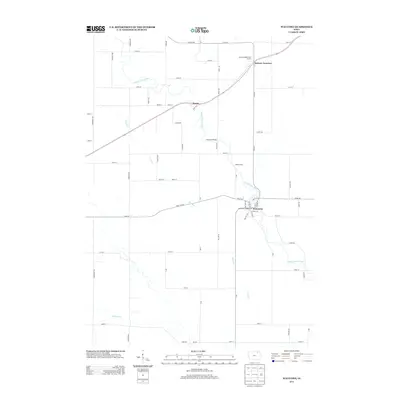
2013 Map of Waucoma
USGS Topo · Published 2013About this map
The Little Turkey River meanders through this agricultural landscape in northeastern Iowa, anchoring the settlement of Waucoma where a cluster of streets like 1st St SE and 3rd St NW define the town center. To the north, the small communities of Navan and Jackson Junction sit along the transportation corridor, while the river is spanned by landmarks such as Lawrence Bridge.
Find a feature on this map
69 named features on this map. Tap any name to fly to it.
Don’t see what you’re looking for? This feature index may not catch every label — zoom into the map to look around manually.
Map Details
Editions of this 2013 Waucoma Map
This is the sole edition of this map. No revisions or reprints were ever made.
Other maps of this area

1901 · Oelwein
USGS Topo · 1:125,000

1906 · Decorah
USGS Topo · 1:125,000

1954 · Mason City
USGS Topo · 1:250,000

1954 · Waterloo
USGS Topo · 1:250,000

1955 · Waterloo
USGS Topo · 1:250,000

1957 · Mason City
USGS Topo · 1:250,000

1958 · Mason City
USGS Topo · 1:250,000

1958 · La Crosse
USGS Topo · 1:250,000

1959 · Dubuque
USGS Topo · 1:250,000

1961 · Dubuque
USGS Topo · 1:250,000