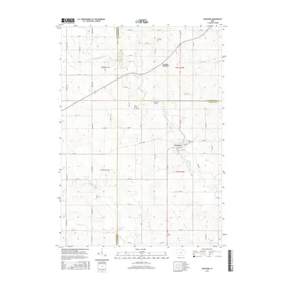
2015 Map of Waucoma
USGS Topo · Published 2015About this map
The Little Turkey River meanders through this portion of northeast Iowa, anchoring the settlement of Waucoma at a point where the river bends south through the Fayette County countryside. This landscape is defined by the tri-county corner where Winneshiek, Chickasaw, and Fayette counties meet. Further north, the rail-oriented junction of Jackson Junction sits along the section lines, reflecting the region's agricultural and transit roots. For genealogists and local historians, the sheet is particularly valuable for its documentation of rural cemeteries, including the C J Jack Farm Cem and several parish grounds such as Saint Marys Cem and Saint Rose Cem. The terrain is drained by tributaries like Simpson Cr and Dry Run, while the Lawrence Bridge provides a specific crossing point over the river north of the main village.
Find a feature on this map
62 named features on this map. Tap any name to fly to it.
Don’t see what you’re looking for? This feature index may not catch every label — zoom into the map to look around manually.
Map Details
Editions of this 2015 Waucoma Map
This is the sole edition of this map. No revisions or reprints were ever made.
Other maps of this area

1901 · Oelwein
USGS Topo · 1:125,000

1906 · Decorah
USGS Topo · 1:125,000

1954 · Mason City
USGS Topo · 1:250,000

1954 · Waterloo
USGS Topo · 1:250,000

1955 · Waterloo
USGS Topo · 1:250,000

1957 · Mason City
USGS Topo · 1:250,000

1958 · Mason City
USGS Topo · 1:250,000

1958 · La Crosse
USGS Topo · 1:250,000

1959 · Dubuque
USGS Topo · 1:250,000

1961 · Dubuque
USGS Topo · 1:250,000