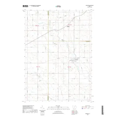
2018 Map of Waucoma
USGS Topo · Published 2018About this map
Waucoma serves as a central hub on this Fayette County survey, situated where the Little Turkey River bends southward and meets Simpson Cr. This 21st-century mapping record traces the persistent agricultural layout of Northeast Iowa, highlighting the intersection of three counties: Chickasaw, Winneshiek, and Fayette. The landscape is defined by its small crossroads settlements and the family history preserved in numerous rural burial sites. Genealogists will find detailed locations for family-named grounds such as the C J Jack Farm Cem, along with Saint Rose Cem and Saint Johns Cem. The northern portion of the map features the village of Jackson Junction and the Lawrence Bridge crossing, illustrating the continued importance of river-adjacent infrastructure and the grid-based road network, including routes like Co HWY b33 and Co RD v64.
Find a feature on this map
69 named features on this map. Tap any name to fly to it.
Don’t see what you’re looking for? This feature index may not catch every label — zoom into the map to look around manually.
Map Details
Editions of this 2018 Waucoma Map
This is the sole edition of this map. No revisions or reprints were ever made.
Other maps of this area

1901 · Oelwein
USGS Topo · 1:125,000

1906 · Decorah
USGS Topo · 1:125,000

1954 · Mason City
USGS Topo · 1:250,000

1954 · Waterloo
USGS Topo · 1:250,000

1955 · Waterloo
USGS Topo · 1:250,000

1957 · Mason City
USGS Topo · 1:250,000

1958 · Mason City
USGS Topo · 1:250,000

1958 · La Crosse
USGS Topo · 1:250,000

1959 · Dubuque
USGS Topo · 1:250,000

1961 · Dubuque
USGS Topo · 1:250,000