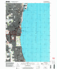
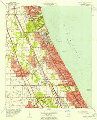
1998 Map of Waukegan
USGS Topo · Published 2003About this map
The industrialized shoreline of Lake Michigan dominates this late-twentieth-century study of the North Shore. The massive Great Lakes Naval Training Center serves as a major landmark between North Chicago and Lake Bluff, while the city of Waukegan showcases a dense urban grid replete with local institutions like St Marys Cemetery, Shimer College, and Waukegan Harbor.
Find a feature on this map
55 named features on this map. Tap any name to fly to it.
Don’t see what you’re looking for? This feature index may not catch every label — zoom into the map to look around manually.
Map Details
Editions of this 1998 Waukegan Map
This is the sole edition of this map. No revisions or reprints were ever made.
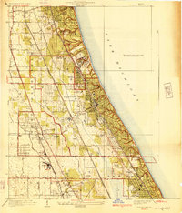
Other maps of this area

1899 · Evanston
USGS Topo · 1:62,500

1900 · Highwood
USGS Topo · 1:62,500

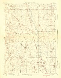
1906 · Waukegan
USGS Topo · 1:62,500

1908 · Waukegan
USGS Topo · 1:62,500
1928 · Wheeling
USGS Topo · 1:24,000
1928 · Highland Park
USGS Topo · 1:24,000
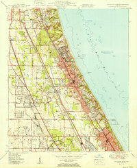
1951 · Highland Park
USGS Topo · 1:24,000
1953 · Highland Park
USGS Topo · 1:24,000
1953 · Wheeling
USGS Topo · 1:24,000

1958 · Racine
USGS Topo · 1:250,000