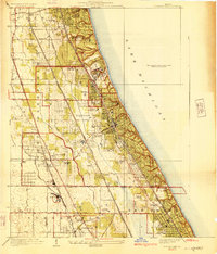
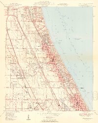
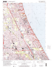
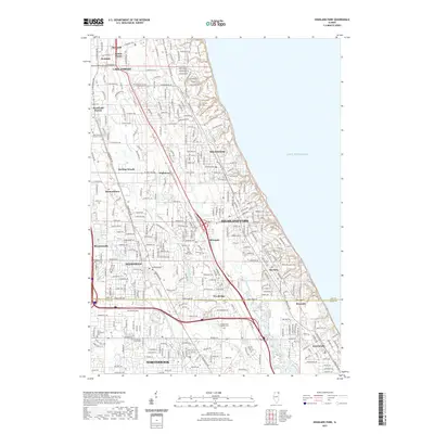
1928 Map of Highland Park
USGS Topo · Published 1928About this map
Fort Sheridan stands prominently along the Lake Michigan shoreline, marking a significant military presence amidst the burgeoning North Shore suburbs in the late 1920s. This survey, compiled in part from early Army Air Corps aerial photography, reveals a landscape defined by an extraordinary concentration of private social and athletic grounds, including the Onwentsia Club, Old Elm Golf Club, and the Skokie Country Club. These sprawling estates and clubs are interspersed with established academic institutions like Lake Forest College and Sacred Heart Seminary.
Find a feature on this map
53 named features on this map. Tap any name to fly to it.
Don’t see what you’re looking for? This feature index may not catch every label — zoom into the map to look around manually.
Map Details
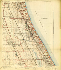
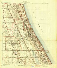
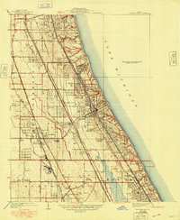
Editions of this 1928 Highland Park Map
4 editions found
Historical Maps of Northbrook Through Time
11 maps found
1928 Highland Park
Lake County, IL
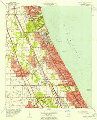
1951 Highland Park
Lake County, IL
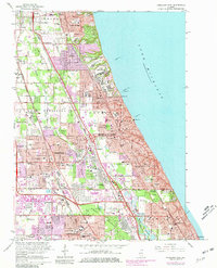
1953 Highland Park
Lake County, IL
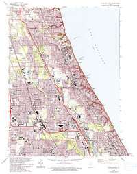
1963 Highland Park
Lake County, IL
1993 Highland Park
Lake County, IL
2000 Highland Park
Lake County, IL
2012 Highland Park
Lake County, IL
2015 Highland Park
Lake County, IL
2018 Highland Park
Lake County, IL
2021 Highland Park
Lake County, IL
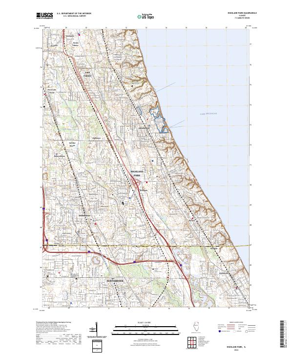
2024 Highland Park
Lake County, IL
Featured Locations
- Deerfield, IL
- Lake Forest, IL
- Highland Park, IL
- Glencoe, New Trier Township
- Northbrook, Northfield Township