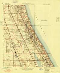
1928 Map of Highland Park
USGS Topo · Published 1948About this map
Lake Michigan defines the eastern edge of this coastal landscape, where the affluent residential developments of the North Shore were maturing in the late 1920s. The map illustrates a distinctive pattern of leisure and education, featuring prestigious institutions like Lake Forest College and Lake Forest Academy alongside a high concentration of recreational estates. The terrain is deeply influenced by the north-south corridors of the Chicago and Northwestern and the Chicago North Shore and Milwaukee (Electric) railroads, which facilitated the growth of communities like Highland Park and Lake Forest. Away from the shoreline, the presence of the Brickyard and various golf clubs such as the Onwentsia Club and Exmoor Country Club show the transition from industrial extraction to suburban recreation. Small settlements like Blodgett and Highmoor are visible, alongside the winding paths of the Skokie River and the forks of the Chicago River.
Find a feature on this map
54 named features on this map. Tap any name to fly to it.
Don’t see what you’re looking for? This feature index may not catch every label — zoom into the map to look around manually.
Map Details
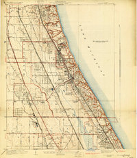
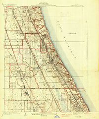
Editions of this 1928 Highland Park Map
4 editions found
Other maps of this area

1899 · Evanston
USGS Topo · 1:62,500

1900 · Highwood
USGS Topo · 1:62,500

1906 · Waukegan
USGS Topo · 1:62,500

1908 · Waukegan
USGS Topo · 1:62,500

1927 · Arlington Heights
USGS Topo · 1:24,000

1928 · Wheeling
USGS Topo · 1:24,000

1928 · Highland Park
USGS Topo · 1:24,000

1928 · Evanston
USGS Topo · 1:24,000

1929 · Park Ridge
USGS Topo · 1:24,000

1951 · Highland Park
USGS Topo · 1:24,000