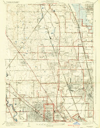
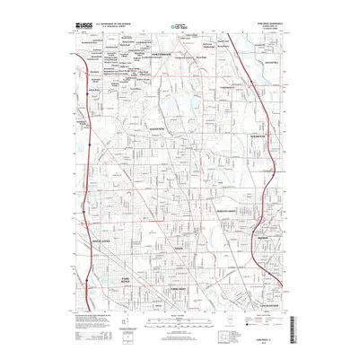
1929 Map of Park Ridge
USGS Topo · Published 1929About this map
Northfield, New Trier, and Maine townships showcase the rapid suburbanization of Cook County in the late 1920s. Institutional landmarks such as the St Marys Mission House and Holy Ghost Academy near Techny anchored these growing communities alongside social services like the Croatian Orphanage and St Hedwigs Orphanage. The landscape is transitioning from farmland to leisure and residential space, marked by numerous golf courses including the Northwestern Golf Links and Banker Hill Country Club.
Find a feature on this map
69 named features on this map. Tap any name to fly to it.
Don’t see what you’re looking for? This feature index may not catch every label — zoom into the map to look around manually.
Map Details
Editions of this 1929 Park Ridge Map
3 editions found
Historical Maps of Chicago Through Time
10 maps found
1929 Park Ridge
Cook County, IL
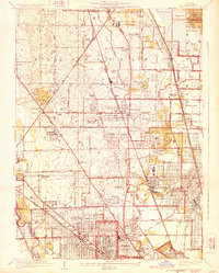
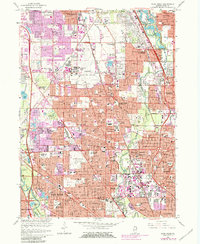
1953 Park Ridge
Cook County, IL
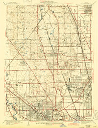
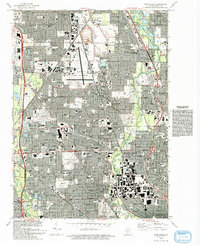
1963 Park Ridge
Cook County, IL
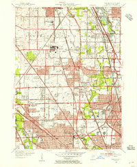
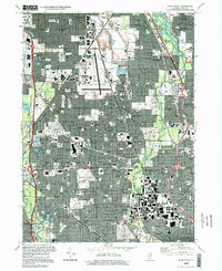
1993 Park Ridge
Cook County, IL
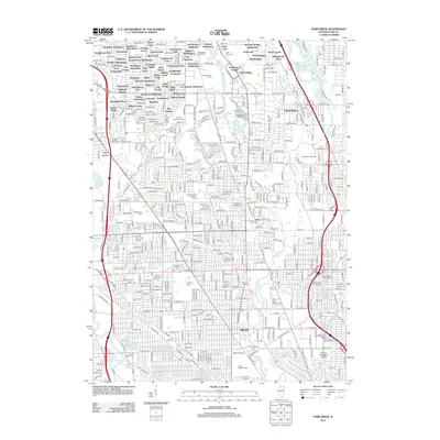
1995 Park Ridge
Cook County, IL
2012 Park Ridge
Cook County, IL
2015 Park Ridge
Cook County, IL
2018 Park Ridge
Cook County, IL
2021 Park Ridge
Cook County, IL
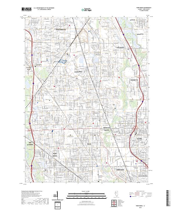
2024 Park Ridge
Cook County, IL
Featured Locations
- Chicago, IL
- Des Plaines, IL
- Park Ridge, Maine Township
- Skokie, Niles Township
- Glenview, Northfield Township