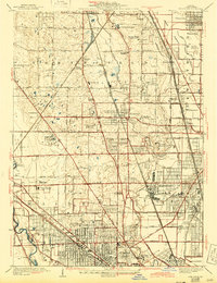
1929 Map of Park Ridge
USGS Topo · Published 1945About this map
Park Ridge and its surrounding townships of Northfield, Maine, and Niles are shown during a period of transition as Chicago's northern suburbs expanded along established rail lines. The Chicago and North Western Railroad and Chicago Milwaukee St Paul and Pacific Railroad provide the primary structural axes for settlements like Morton Grove, Glenview, and Northbrook. Large institutional footprints characterize the landscape, including the sprawling grounds of the St Marys Mission House, the Croatian Orphanage, and St Hedwigs Orphanage. Recreation is prominent, with numerous golf courses such as the Northwestern Golf Links and Sunset Ridge Golf Club appearing alongside conserved areas like Harmswoods. To the east, the engineering of the Skokie Lagoons and the Skokie River marks an era of significant drainage and landscape management near Winnetka and Glencoe.
Find a feature on this map
73 named features on this map. Tap any name to fly to it.
Don’t see what you’re looking for? This feature index may not catch every label — zoom into the map to look around manually.
Map Details
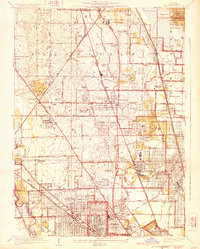
Editions of this 1929 Park Ridge Map
3 editions found

Other maps of this area

1889 · Chicago
USGS Topo · 1:62,500

1891 · Chicago
USGS Topo · 1:62,500

1891 · Riverside
USGS Topo · 1:62,500

1893 · Riverside
USGS Topo · 1:62,500

1899 · Evanston
USGS Topo · 1:62,500

1900 · Chicago
USGS Topo · 1:62,500

1900 · Riverside
USGS Topo · 1:62,500

1900 · Highwood
USGS Topo · 1:62,500

1901 · Riverside
USGS Topo · 1:62,500

1901 · Chicago
USGS Topo · 1:62,500