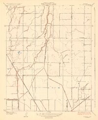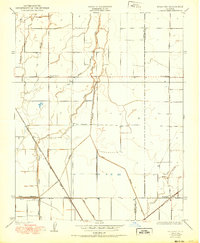
1954 Map of Waukena
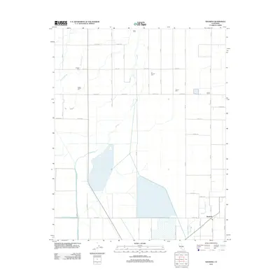
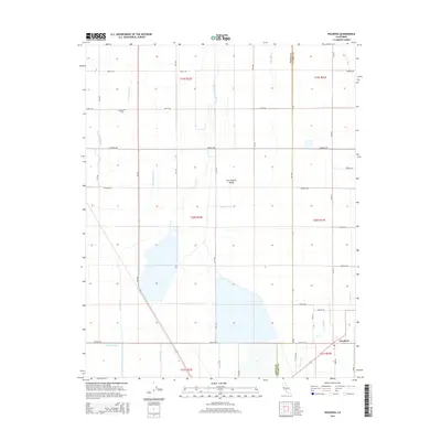
USGS Topo · Published 1986About this map
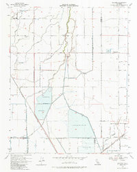
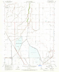
Agricultural development and hydraulic engineering define this central California landscape at the mid-century. The settlement of Waukena sits in the southeast corner, serving as a hub for the surrounding farmlands where the Atchison Topeka and Santa Fe railroad line cuts a diagonal path toward the San Joaquin Valley’s interior. This 1954 revision reflects a highly managed water system, evidenced by numerous irrigation structures and the massive Percolation Basin and Reservoir complexes designed to capture and manage runoff from the Sierra Nevada.
Find a feature on this map
23 named features on this map. Tap any name to fly to it.
Don’t see what you’re looking for? This feature index may not catch every label — zoom into the map to look around manually.
Map Details
Editions of this 1954 Waukena Map
3 editions found
Historical Maps of Corcoran Through Time
7 maps found