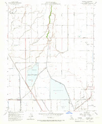
1954 Map of Waukena
USGS Topo · Published 1966About this map
Agricultural water management dominates the landscape at the Kings Co Tulare Co line, where the Tulare Lake Basin's intricate hydrology is on full display. The area is defined by a dense network of canals, ditches, and levees designed to control the seasonal flows of Cross Creek and Guernsey Creek. Large industrial-scale features like the Percolation Basin and several expansive Reservoir sites suggest the critical importance of groundwater recharge and surface storage for the surrounding valley farms. The small community of Waukena sits at a junction of road and rail, serving as a focal point for the rural district.
Find a feature on this map
18 named features on this map. Tap any name to fly to it.
Don’t see what you’re looking for? This feature index may not catch every label — zoom into the map to look around manually.
Map Details
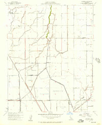
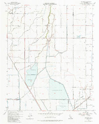
Editions of this 1954 Waukena Map
3 editions found
Other maps of this area

1926 · Goshen
USGS Topo · 1:31,680

1926 · Hanford
USGS Topo · 1:31,680

1927 · Remnoy
USGS Topo · 1:31,680

1927 · Lake View School
USGS Topo · 1:31,680

1927 · Paige
USGS Topo · 1:31,680

1928 · Waukena
USGS Topo · 1:31,680

1928 · Corcoran
USGS Topo · 1:31,680

1929 · Guernsey
USGS Topo · 1:31,680

1932 · El Rico Ranch
USGS Topo · 1:31,680
1936 · El Rico Ranch
USGS Topo · 1:31,680