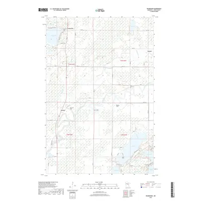
2019 Map of Waukenabo
USGS Topo · Published 2019About this map
Mississippi River meanders through the central and southern reaches of this Aitkin County landscape, defining the character of the wetlands and drainage patterns that dominate the terrain. This area is characterized by a dense network of lakes and marshes, from Waukenabo Lake and Rice Lake in the northwest to Gun Lake and Fleming Lake in the southeast. The small settlements of Waukenabo, Waldeck, and Palisade serve as focal points for local history, connected by a system of township roads and county highways. The presence of several established burial grounds, including Waukenabo Cem, Pine Grove Cem, and Fleming Cem, provides specific points of interest for genealogists and local historians. Named landforms like Gun Point and the winding course of the Willow River further illustrate the intricate geography of this lake-studded region.
Find a feature on this map
49 named features on this map. Tap any name to fly to it.
Don’t see what you’re looking for? This feature index may not catch every label — zoom into the map to look around manually.
Map Details
Editions of this 2019 Waukenabo Map
This is the sole edition of this map. No revisions or reprints were ever made.
Other maps of this area

1914 · Aitkin
USGS Topo · 1:62,500

1915 · Aitkin
USGS Topo · 1:62,500

1953 · Duluth
USGS Topo · 1:250,000

1958 · Duluth
USGS Topo · 1:250,000

1970 · Kimberly
USGS Topo · 1:24,000

1970 · Palisade
USGS Topo · 1:24,000

1970 · Sanders Lake
USGS Topo · 1:24,000

1970 · Bain
USGS Topo · 1:24,000

1970 · White Elk Lake
USGS Topo · 1:24,000
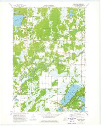
1973 · Waukenabo
USGS Topo · 1:24,000