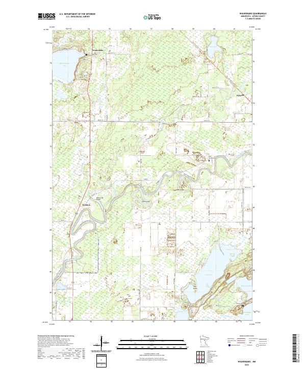
2022 Map of Waukenabo
USGS Topo · Published 2022About this map
The Mississippi River meanders through this Aitkin County landscape, carving a complex path between the settlements of Waldeck and Palisade. The terrain is defined by a dense network of wetlands and water bodies, including Waukenabo Lake, Rice Lake, and Gun Lake, which features a prominent landform known as Gun Point. This area illustrates the historical transition from rail to recreation, as the Soo Line North: Aitkin Trl follows the path of a former railroad corridor through the marshy lowlands near Red Lake.
Find a feature on this map
46 named features on this map. Tap any name to fly to it.
Don’t see what you’re looking for? This feature index may not catch every label — zoom into the map to look around manually.
Map Details
Editions of this 2022 Waukenabo Map
This is the sole edition of this map. No revisions or reprints were ever made.
Other maps of this area

1914 · Aitkin
USGS Topo · 1:62,500

1915 · Aitkin
USGS Topo · 1:62,500

1953 · Duluth
USGS Topo · 1:250,000

1958 · Duluth
USGS Topo · 1:250,000

1970 · Kimberly
USGS Topo · 1:24,000

1970 · Palisade
USGS Topo · 1:24,000

1970 · Sanders Lake
USGS Topo · 1:24,000

1970 · Bain
USGS Topo · 1:24,000

1970 · White Elk Lake
USGS Topo · 1:24,000
1973 · Waukenabo
USGS Topo · 1:24,000