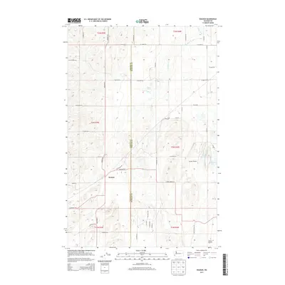
2014 Map of Waukon
USGS Topo · Published 2014About this map
The small settlement of Waukon serves as the central landmark for this transition between the agricultural uplands and the drainage of Deep Creek. This 2014 survey captures a rural landscape where the Lincoln and Spokane County line bisects a grid of family-named roads, including Waukon Road North and South Malloy Prairie Road. The terrain is characterized by broad expanses like Tucker Prairie and Malloy Prairie, which are dotted with seasonal water features and springs. Of particular note are the small, isolated bodies of water such as Hedin Lake, Lonelyville Lake, and Wilton Springs, which provide vital landmarks in the otherwise open prairie. The drainage pattern is defined by the South Fork Deep Creek, winding through the northern sections. This topography reflects the enduring agricultural character of the region, where roads like Titchenal Road East and Cloverdale Road East follow the section lines of the Public Land Survey System.
Find a feature on this map
45 named features on this map. Tap any name to fly to it.
Don’t see what you’re looking for? This feature index may not catch every label — zoom into the map to look around manually.
Map Details
Editions of this 2014 Waukon Map
This is the sole edition of this map. No revisions or reprints were ever made.
Other maps of this area

1943 · Medical Lake
USGS Topo · 1:62,500

1945 · Reardan
USGS Topo · 1:62,500

1953 · Reardan
USGS Topo · 1:62,500

1954 · Medical Lake
USGS Topo · 1:24,000

1954 · Medical Lake
USGS Topo · 1:62,500

1954 · Cheney
USGS Topo · 1:62,500

1954 · Sprague
USGS Topo · 1:62,500

1954 · Deep Creek
USGS Topo · 1:24,000

1955 · Spokane
USGS Topo · 1:250,000

1958 · Spokane
USGS Topo · 1:250,000