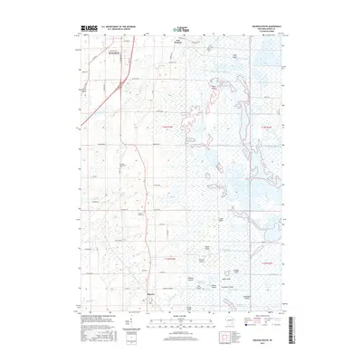
2015 Map of Waupun South
USGS Topo · Published 2015About this map
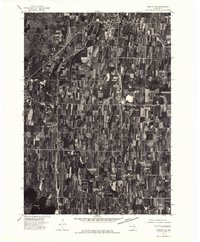
Horicon Marsh dominates the eastern half of this landscape, creating a complex network of waterways and named islands including Stony Island, Rank Island, and Goose Island. The West Branch Rock River feeds into this expansive wetland system, which is further defined by a series of engineered channels like Sommers Ditch and Luebke Ditch. The transition from the urban fringes of Waupun and East Waupun to the agrarian and marshy lowlands illustrates the local importance of water management and land use in Dodge County.
Find a feature on this map
71 named features on this map. Tap any name to fly to it.
Don’t see what you’re looking for? This feature index may not catch every label — zoom into the map to look around manually.
Map Details
Editions of this 2015 Waupun South Map
This is the sole edition of this map. No revisions or reprints were ever made.
Other maps of this area
1955 · Beaver Dam
USGS Topo · 1:62,500
1955 · Waupun
USGS Topo · 1:62,500
1955 · Fox Lake
USGS Topo · 1:62,500
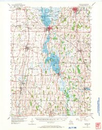
1955 · Horicon
USGS Topo · 1:62,500

1957 · Madison
USGS Topo · 1:250,000

1960 · Madison
USGS Topo · 1:250,000
1975 · Horicon NW
USGS Topo · 1:24,000
1975 · Beaver Dam NE
USGS Topo · 1:24,000
1975 · Waupun NW
USGS Topo · 1:24,000
1975 · Horicon NE
USGS Topo · 1:24,000