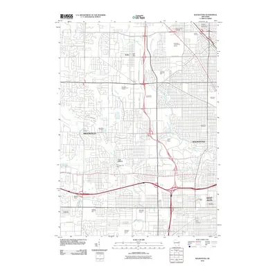
2010 Map of Wauwatosa
USGS Topo · Published 2010About this map
Wauwatosa and Brookfield dominate this suburban landscape west of Milwaukee, showcasing a dense network of residential development and commercial infrastructure at the start of the 21st century. The area is characterized by an exceptionally high concentration of memorial grounds, including the expansive Wisconsin Memorial Park Cemetery, Valhalla Cemetery, and Holy Cross Cemetery. These sites, along with the smaller Pioneer Cemetery and Mount Zion Cemetery, provide a significant focal point for genealogical research in Milwaukee County.
Find a feature on this map
43 named features on this map. Tap any name to fly to it.
Don’t see what you’re looking for? This feature index may not catch every label — zoom into the map to look around manually.
Map Details
Editions of this 2010 Wauwatosa Map
This is the sole edition of this map. No revisions or reprints were ever made.
Other maps of this area

1891 · Bayview
USGS Topo · 1:62,500

1891 · Muskego
USGS Topo · 1:62,500

1892 · Milwaukee
USGS Topo · 1:62,500

1892 · Waukesha
USGS Topo · 1:62,500

1901 · Milwaukee
USGS Topo · 1:62,500

1901 · Waukesha
USGS Topo · 1:62,500

1901 · Bayview
USGS Topo · 1:62,500

1901 · Muskego
USGS Topo · 1:62,500

1906 · Waukesha
USGS Topo · 1:62,500

1906 · Milwaukee
USGS Topo · 1:62,500