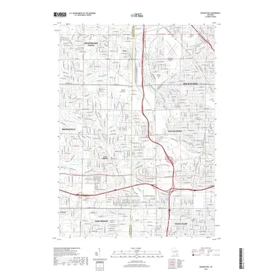
2018 Map of Wauwatosa
USGS Topo · Published 2018About this map
The Menomonee River and its various tributaries, including the Little Menomonee River and Underwood Creek, form the primary drainage system for this heavily developed corridor between Milwaukee and its western neighbors. The terrain is marked by significant urban and suburban expansion, where the municipal boundaries of Milwaukee, Wauwatosa, West Allis, and Brookfield meet. A striking concentration of large memorial grounds is visible across the landscape, including Wisconsin Memorial Park Cem and Pinelawn Memorial Park, which occupy expansive tracts amidst the dense residential street grid.
Find a feature on this map
98 named features on this map. Tap any name to fly to it.
Don’t see what you’re looking for? This feature index may not catch every label — zoom into the map to look around manually.
Map Details
Editions of this 2018 Wauwatosa Map
This is the sole edition of this map. No revisions or reprints were ever made.
Other maps of this area

1891 · Bayview
USGS Topo · 1:62,500

1891 · Muskego
USGS Topo · 1:62,500

1892 · Milwaukee
USGS Topo · 1:62,500

1892 · Waukesha
USGS Topo · 1:62,500

1901 · Milwaukee
USGS Topo · 1:62,500

1901 · Waukesha
USGS Topo · 1:62,500

1901 · Bayview
USGS Topo · 1:62,500

1901 · Muskego
USGS Topo · 1:62,500

1906 · Waukesha
USGS Topo · 1:62,500

1906 · Milwaukee
USGS Topo · 1:62,500