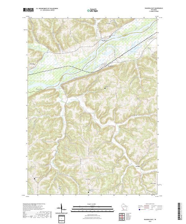
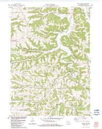
2022 Map of Wauzeka East
USGS Topo · Published 2022About this map
The Wisconsin River and its broad valley define the landscape of this Grant County region, where the Kickapoo River joins the larger waterway near Wauzeka. The river's influence is evident in the wetland features like Bullhead Slough, Woodman Lake, and the expansive Newton Island. These lowlands transition sharply into the dissected uplands of the Driftless Area, marked by prominent landmarks such as Ward Ridge and Irish Ridge.
Find a feature on this map
72 named features on this map. Tap any name to fly to it.
Don’t see what you’re looking for? This feature index may not catch every label — zoom into the map to look around manually.
Map Details
Editions of this 2022 Wauzeka East Map
This is the sole edition of this map. No revisions or reprints were ever made.
Historical Maps of Marion Through Time
17 maps found
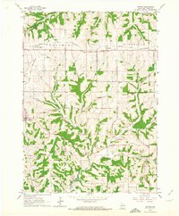
1962 Beetown
Grant County, WI
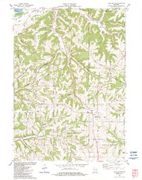
1962 Ellenboro
Grant County, WI
1962 Hurricane
Grant County, WI
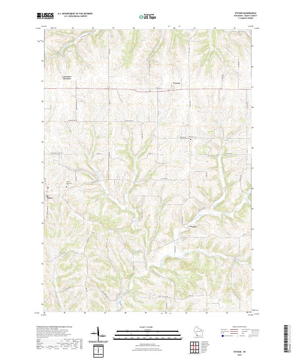
1962 Stitzer
Grant County, WI
1983 Castle Rock
Grant County, WI
1983 Highland West
Grant County, WI
1983 Long Hollow
Grant County, WI
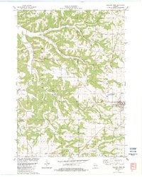
1983 Wauzeka East
Grant County, WI
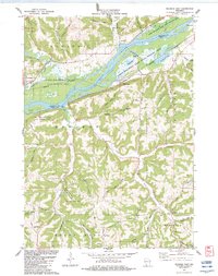
2022 Beetown
Grant County, WI
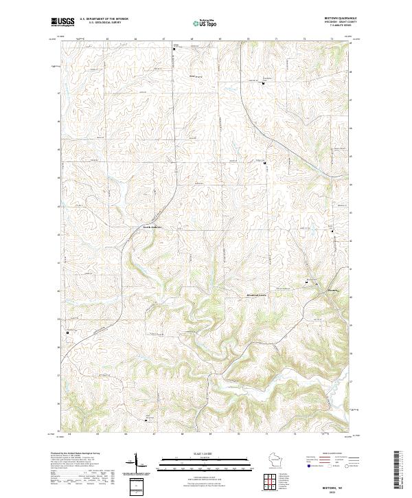
2022 Brodtville
Grant County, WI
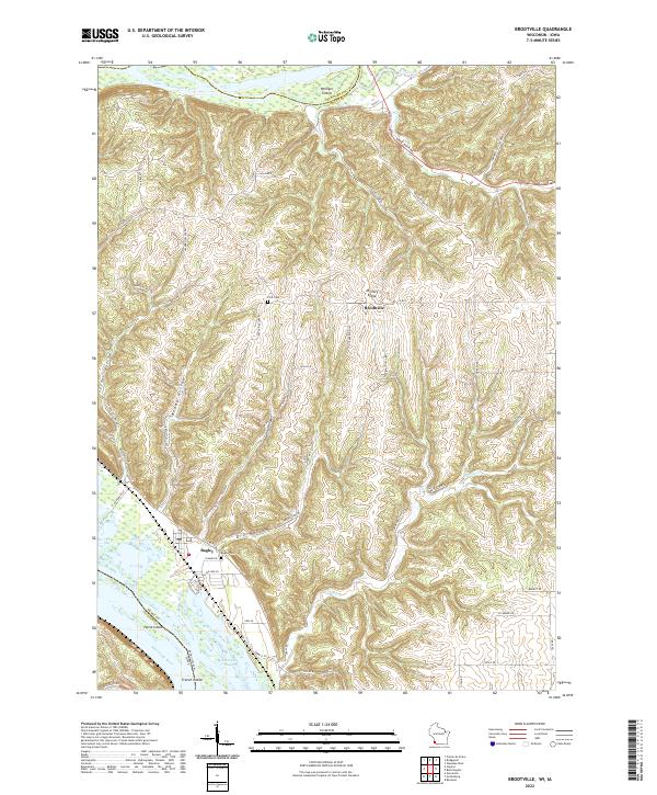
2022 Castle Rock
Grant County, WI
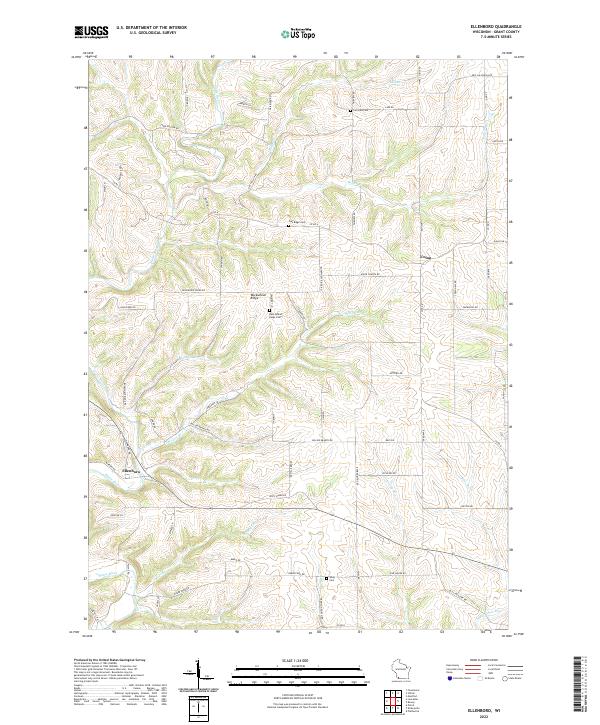
2022 Ellenboro
Grant County, WI
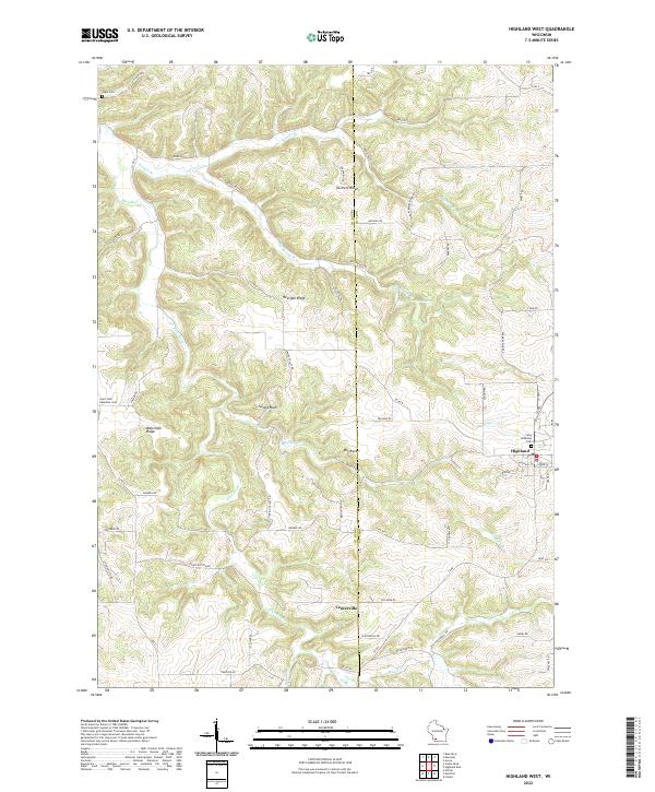
2022 Highland West
Grant County, WI
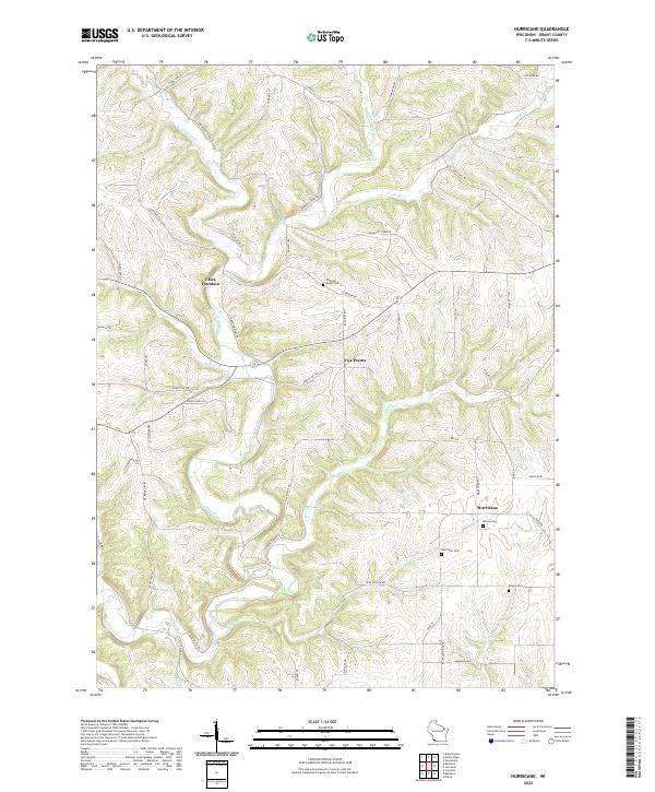
2022 Hurricane
Grant County, WI
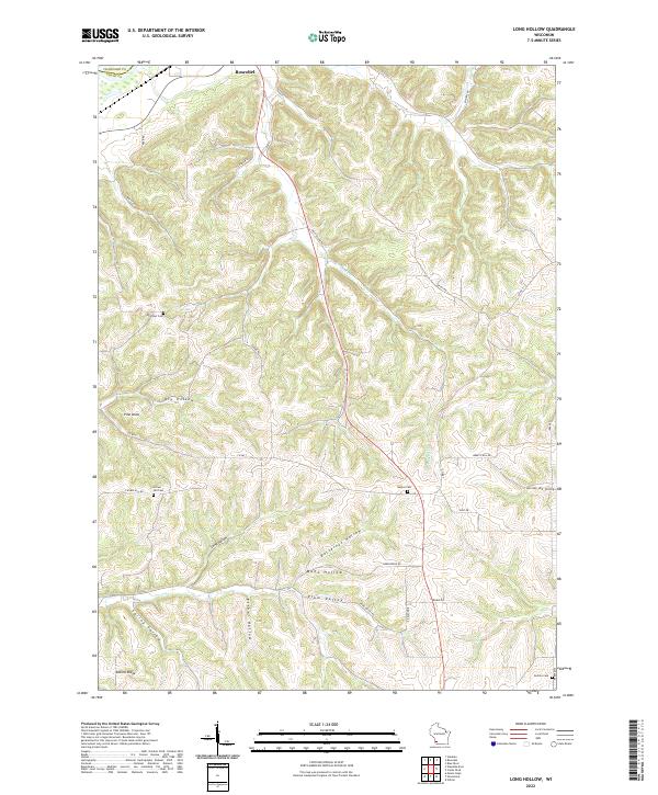
2022 Long Hollow
Grant County, WI
2022 Stitzer
Grant County, WI
2022 Wauzeka East
Grant County, WI