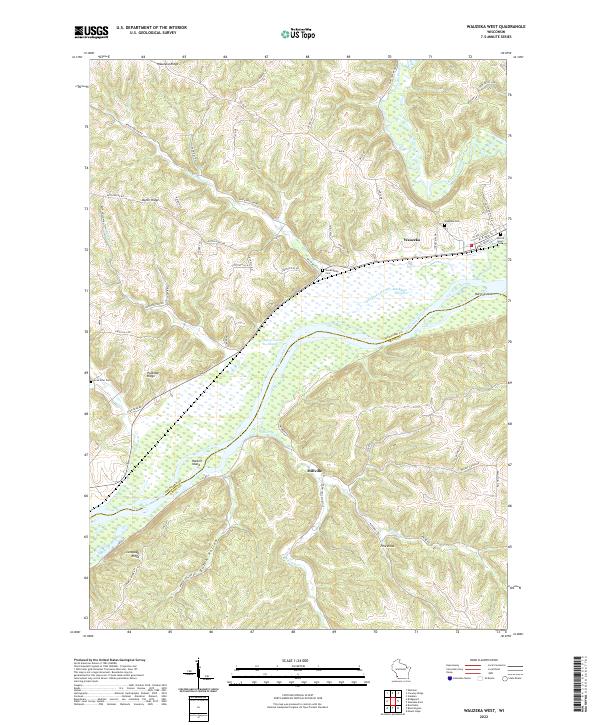
2022 Map of Wauzeka West
USGS Topo · Published 2022About this map
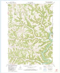
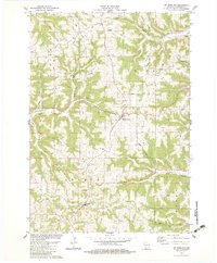
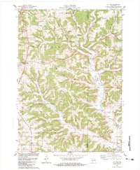
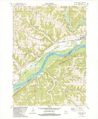
The Kickapoo River meanders south through the Driftless Area terrain before joining the Wisconsin River in this 2022 survey. The village of Wauzeka sits near the confluence, serving as a focal point for local family history with the nearby Wauzeka Cem and Sacred Heart Cem. The landscape is defined by steep ridges and narrow hollows, including Wauzeka Ridge, Dutch Ridge, and Polander Ridge, which separate the various creek valleys. Along the southern riverbanks, the small settlement of Millville rests near Millville Cr, surrounded by complex river features like Shulz Crossing Slough and Reickman Slough. These waterways and named islands, such as Harris Island and Hacklin Island, illustrate the floodplains that have shaped transportation and land use in Crawford County for generations.
Find a feature on this map
69 named features on this map. Tap any name to fly to it.
Don’t see what you’re looking for? This feature index may not catch every label — zoom into the map to look around manually.
Map Details
Editions of this 2022 Wauzeka West Map
This is the sole edition of this map. No revisions or reprints were ever made.
Historical Maps of Mount Hope Through Time
12 maps found

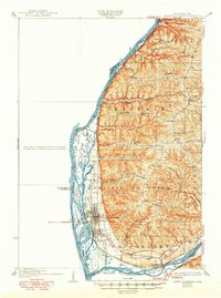
1929 Prairie Du Chien
Crawford County, WI
1932 Prairie Du Chien
Crawford County, WI
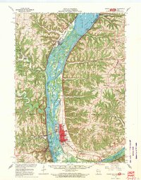
1967 Prairie Du Chien
Crawford County, WI
1983 Bridgeport
Crawford County, WI
1983 Crowley Ridge
Crawford County, WI
1983 Mt. Sterling
Crawford County, WI
1983 Mt. Zion
Crawford County, WI
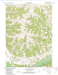
1983 Wauzeka West
Crawford County, WI
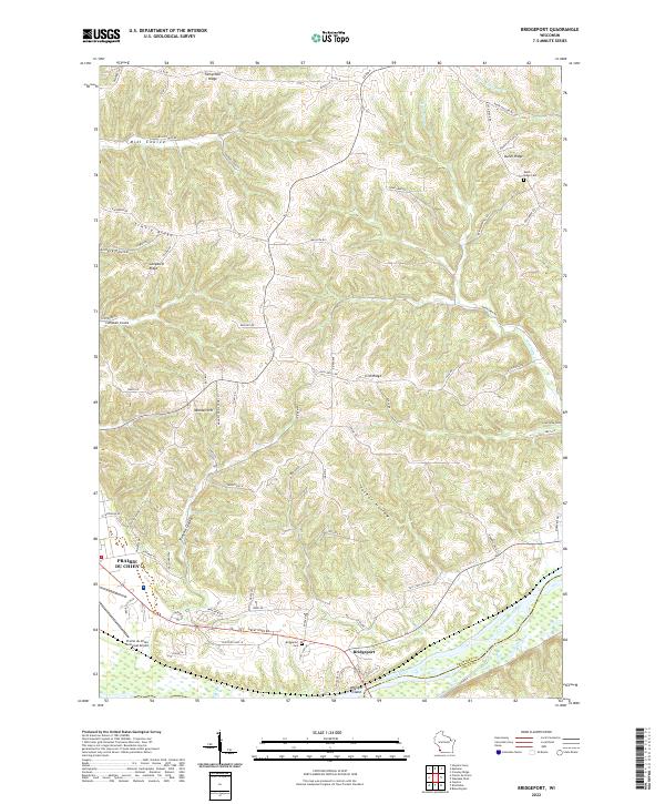
2022 Bridgeport
Crawford County, WI
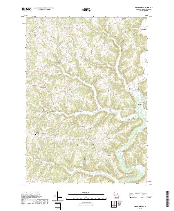
2022 Crowley Ridge
Crawford County, WI
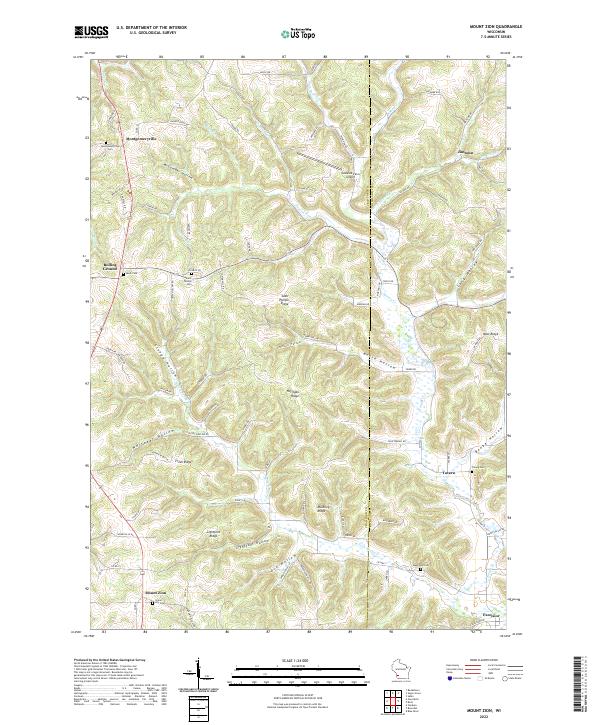
2022 Mount Zion
Crawford County, WI
2022 Wauzeka West
Crawford County, WI