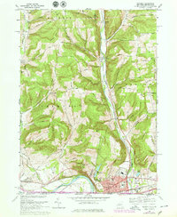
1969 Map of Waverly
USGS Topo · Published 1979About this map
Waverly and its surroundings straddle the border of New York and Pennsylvania during a period of industrial and infrastructure change. The village center is densely mapped with streets like Broad Street and Clinton Ave, showing a established community anchored by the High Sch and St James Ch. The landscape is defined by the confluence of the Chemung River and Cayuta Creek, where the Conrail tracks follow the natural water gaps to facilitate regional transport. Outside the village, the terrain rises into named ridges such as West Hill and Porter Hill, where smaller settlements like Beantown, Hicks, and Owens Mills persist. Notable for genealogists are several rural burying grounds, including Hicks Cem and Dry Brook Cem, as well as the specialized site of the St John of the Cross Monastery near Glory Hill.
Find a feature on this map
63 named features on this map. Tap any name to fly to it.
Don’t see what you’re looking for? This feature index may not catch every label — zoom into the map to look around manually.
Map Details
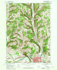
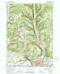
Editions of this 1969 Waverly Map
3 editions found
Other maps of this area

1902 · Waverly
USGS Topo · 1:62,500

1903 · Owego
USGS Topo · 1:62,500

1905 · Watkins Glen
USGS Topo · 1:125,000

1906 · Catatonk
USGS Topo · 1:125,000

1923 · Towanda
USGS Topo · 1:62,500

1926 · Towanda
USGS Topo · 1:62,500

1939 · Sayre
USGS Topo · 1:62,500

1942 · Sayre
USGS Topo · 1:62,500

1943 · Towanda
USGS Topo · 1:62,500

1948 · Sayre
USGS Topo · 1:62,500