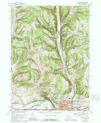
1969 Map of Waverly
USGS Topo · Published 1989About this map
Waverly anchors this landscape at the confluence of several vital watercourses, where the Chemung River meets the valley of Cayuta Creek. The topography is defined by significant ridges such as Baldwin and Barton, separated by a network of rural roads including Lockwood Road and Mallory Hill Road. Local history is deeply embedded in the distribution of family-named landmarks and institutions, from the St John of the Cross Monastery on Glory Hill to the clustered residences of Beantown and Reniff.
Find a feature on this map
59 named features on this map. Tap any name to fly to it.
Don’t see what you’re looking for? This feature index may not catch every label — zoom into the map to look around manually.
Map Details
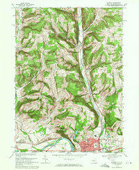
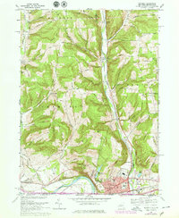
Editions of this 1969 Waverly Map
3 editions found
Other maps of this area

1902 · Waverly
USGS Topo · 1:62,500

1903 · Owego
USGS Topo · 1:62,500

1905 · Watkins Glen
USGS Topo · 1:125,000

1906 · Catatonk
USGS Topo · 1:125,000

1923 · Towanda
USGS Topo · 1:62,500

1926 · Towanda
USGS Topo · 1:62,500

1939 · Sayre
USGS Topo · 1:62,500

1942 · Sayre
USGS Topo · 1:62,500

1943 · Towanda
USGS Topo · 1:62,500

1948 · Sayre
USGS Topo · 1:62,500