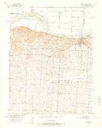
1951 Map of Waverly
USGS Topo · Published 1952About this map
The Missouri River defines the northern landscape of this region, separating Carroll Co and Lafayette Co while shaping landforms like Baltimore Island and Rabbit Island. This early 1950s survey documents the river-adjacent town of Waverly, which serves as a nexus for the Missouri Pacific railroad and regional road networks. The rugged bluffs south of the river give way to upland farming territory, where the distribution of one-room schoolhouses reveals the rural social structure of the era.
Find a feature on this map
20 named features on this map. Tap any name to fly to it.
Don’t see what you’re looking for? This feature index may not catch every label — zoom into the map to look around manually.
Map Details
Editions of this 1951 Waverly Map
4 editions found

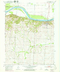
Other maps of this area

1889 · Lexington
USGS Topo · 1:125,000

1890 · Marshall
USGS Topo · 1:125,000

1892 · Marshall
USGS Topo · 1:125,000

1901 · Marshall
USGS Topo · 1:125,000

1950 · Dover
USGS Topo · 1:24,000
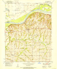
1951 · Dover
USGS Topo · 1:24,000

1951 · Alma
USGS Topo · 1:24,000
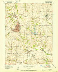
1951 · Higginsville
USGS Topo · 1:24,000

1951 · Carrollton East
USGS Topo · 1:24,000

1951 · Waverly
USGS Topo · 1:24,000