
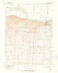
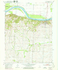
1951 Map of Waverly
USGS Topo · Published 1955About this map
The Missouri River corridor near the Carroll Co Lafayette Co boundary highlights a landscape of flood control and early mid-century rural development. The town of Waverly occupies a strategic bluff overlooking the river, supported by the Missouri Pacific railroad line that skirts the base of the hills. This area is defined by its extensive system of levees protecting agricultural land on Baltimore Island and Rabbit Island.
Find a feature on this map
24 named features on this map. Tap any name to fly to it.
Don’t see what you’re looking for? This feature index may not catch every label — zoom into the map to look around manually.
Map Details
Editions of this 1951 Waverly Map
4 editions found
Other maps of this area

1889 · Lexington
USGS Topo · 1:125,000

1890 · Marshall
USGS Topo · 1:125,000

1892 · Marshall
USGS Topo · 1:125,000

1901 · Marshall
USGS Topo · 1:125,000

1950 · Dover
USGS Topo · 1:24,000
1951 · Dover
USGS Topo · 1:24,000

1951 · Alma
USGS Topo · 1:24,000
1951 · Higginsville
USGS Topo · 1:24,000

1951 · Carrollton East
USGS Topo · 1:24,000

1951 · Waverly
USGS Topo · 1:24,000