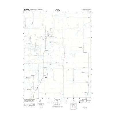
2024 Map of Waverly
USGS Topo · Published 2024About this map
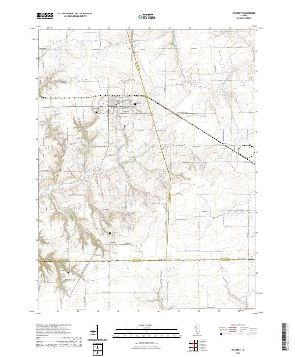
The agricultural town of Waverly serves as the central hub of this modern survey, where a well-defined grid of streets like W State St and Vandalia St meets the surrounding Illinois prairie. For genealogists, the map is remarkably dense with burial grounds, including the Waverly East Cem, Saint Sebastian Cem, Old West Cem, and Rogers Cem situated near the town's perimeter. This concentration of cemeteries provides a spatial record of the area's deep-rooted family histories across the tri-county border area.
Find a feature on this map
92 named features on this map. Tap any name to fly to it.
Don’t see what you’re looking for? This feature index may not catch every label — zoom into the map to look around manually.
Map Details
Editions of this 2024 Waverly Map
This is the sole edition of this map. No revisions or reprints were ever made.
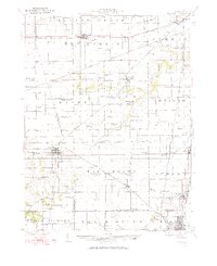
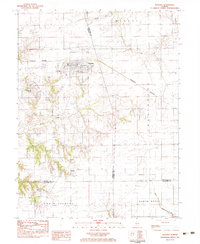
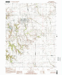
Historical Maps of Waverly Through Time
9 maps found