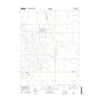
2015 Map of Waverly
USGS Topo · Published 2015About this map
The town of Waverly serves as the primary hub in this central Illinois landscape, situated at the intersection of several regional roads and drainage systems. This 2015 study details a deeply rooted agricultural area where the county lines of Morgan, Sangamon, and Macoupin converge. The topography is defined by the winding paths of Apple Creek and the South Fork Lick Creek, which break up the geometric grid of farm roads and fields. For those tracing local families, the map identifies numerous small burial grounds including Allis Cemetery, Saint Sebastians Cemetery, and Rogers Cemetery, reflecting the area's early 20th-century settlement patterns. South of the main town, the smaller community of Rohrer appears alongside a network of creeks like Sugar Creek and West Fork Otter Creek, illustrating the vital role water resources played in the historical placement of these rural prairie townships.
Find a feature on this map
87 named features on this map. Tap any name to fly to it.
Don’t see what you’re looking for? This feature index may not catch every label — zoom into the map to look around manually.
Map Details
Editions of this 2015 Waverly Map
This is the sole edition of this map. No revisions or reprints were ever made.
Other maps of this area

1923 · Carlinville
USGS Topo · 1:48,000

1924 · Waverly
USGS Topo · 1:62,500

1925 · Carlinville
USGS Topo · 1:62,500

1926 · Waverly
USGS Topo · 1:62,500

1931 · Carlinville
USGS Topo · 1:62,500

1932 · Greenfield
USGS Topo · 1:62,500

1932 · Jacksonville
USGS Topo · 1:62,500

1937 · Jacksonville
USGS Topo · 1:62,500

1948 · Quincy
USGS Topo · 1:250,000

1956 · Quincy
USGS Topo · 1:250,000