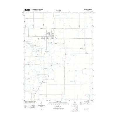
2012 Map of Waverly
USGS Topo · Published 2012About this map
Waverly serves as the central hub of this Central Illinois landscape, where a dense grid of town streets transitions into the expansive agricultural reaches of Morgan County. The area is defined by a network of drainage systems including Apple Cr and Sugar Cr, which meander through fields connected by a complex system of local thoroughfares such as Hog Market Rd and Nortonville Blacktop.
Find a feature on this map
81 named features on this map. Tap any name to fly to it.
Don’t see what you’re looking for? This feature index may not catch every label — zoom into the map to look around manually.
Map Details
Editions of this 2012 Waverly Map
This is the sole edition of this map. No revisions or reprints were ever made.
Other maps of this area

1923 · Carlinville
USGS Topo · 1:48,000

1924 · Waverly
USGS Topo · 1:62,500

1925 · Carlinville
USGS Topo · 1:62,500

1926 · Waverly
USGS Topo · 1:62,500

1931 · Carlinville
USGS Topo · 1:62,500

1932 · Greenfield
USGS Topo · 1:62,500

1932 · Jacksonville
USGS Topo · 1:62,500

1937 · Jacksonville
USGS Topo · 1:62,500

1948 · Quincy
USGS Topo · 1:250,000

1956 · Quincy
USGS Topo · 1:250,000