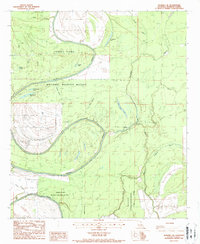
1987 Map of Waverly SE
USGS Topo · Published 1987About this map
The Tensas River meanders through this Madison Parish landscape, defining the character of the Tensas River National Wildlife Refuge in the late 1980s. The terrain is a complex of wetlands and oxbow formations, including Horseshoe Lake and Dunlap Lake, which mark the river's historical shifts. The hydrology is dominated by a network of seasonal and permanent waterways like Alligator Bayou, Despair Bayou, and Little Bear Lake.
Find a feature on this map
24 named features on this map. Tap any name to fly to it.
Don’t see what you’re looking for? This feature index may not catch every label — zoom into the map to look around manually.
Map Details
Editions of this 1987 Waverly SE Map
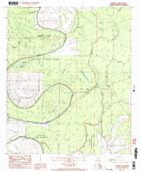
2 editions found
Other maps of this area

1909 · Tallulah
USGS Topo · 1:24,000

1935 · Waverly
USGS Topo · 1:62,500

1935 · Shackleford Lake
USGS Topo · 1:62,500

1939 · Talla Bena
USGS Topo · 1:62,500

1955 · Jackson
USGS Topo · 1:250,000

1958 · Shackleford Lake
USGS Topo · 1:62,500

1961 · Jackson
USGS Topo · 1:250,000

1961 · Waverly
USGS Topo · 1:62,500

1962 · Jackson
USGS Topo · 1:250,000
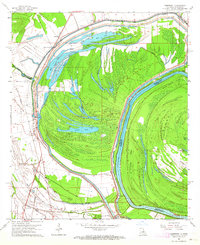
1963 · Somerset
USGS Topo · 1:24,000