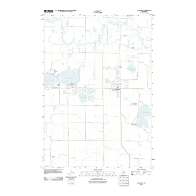
2010 Map of Waverly
USGS Topo · Published 2010About this map
The North Fork Crow River meanders across the northern portion of this landscape, its path shaped by a complex network of glacial lakes and small tributaries like Mill Creek and Frederick Creek. The dual centers of Waverly and Montrose anchor the region, situated along a central corridor where early-century development is still visible in the arrangement of the Waverly Post Office and Montrose Post Office. For genealogists, the map is particularly rich with rural burial grounds, ranging from Saint Marys Cemetery near the lakefront to the more isolated Kreidler Cemetery in the northeast.
Find a feature on this map
60 named features on this map. Tap any name to fly to it.
Don’t see what you’re looking for? This feature index may not catch every label — zoom into the map to look around manually.
Map Details
Editions of this 2010 Waverly Map
This is the sole edition of this map. No revisions or reprints were ever made.
Other maps of this area

1953 · Saint Paul
USGS Topo · 1:250,000

1953 · New Ulm
USGS Topo · 1:250,000

1953 · Saint Cloud
USGS Topo · 1:250,000

1953 · Stillwater
USGS Topo · 1:250,000

1955 · Stillwater
USGS Topo · 1:250,000

1957 · Saint Cloud
USGS Topo · 1:250,000

1957 · New Ulm
USGS Topo · 1:250,000

1957 · Waconia
USGS Topo · 1:62,500

1958 · New Ulm
USGS Topo · 1:250,000

1958 · Stillwater
USGS Topo · 1:250,000
Featured Places
- Montrose, MN
- Waverly, MN
- Montrose Manor Mobile Home Park, Montrose
- Rockford Township, MN
- Franklin Township, MN