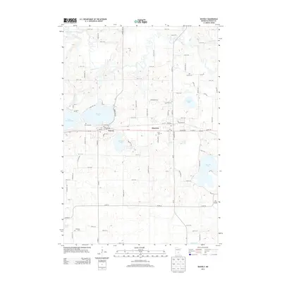
2013 Map of Waverly
USGS Topo · Published 2013About this map
Waverly and Montrose anchor this Wright County landscape, established along the transit corridor of Us-12 and the rail line. The area is defined by a dense concentration of glacial lakes and wetlands, with the North Fork Crow River cutting across the northern reaches and Waverly Lake serving as a central geographic feature. Local history is deeply etched into the land through several denominational and community burial grounds, including Saint Marys Cem, Saint Pauls Cem, and the more remote Kreidler Cem to the east.
Find a feature on this map
70 named features on this map. Tap any name to fly to it.
Don’t see what you’re looking for? This feature index may not catch every label — zoom into the map to look around manually.
Map Details
Editions of this 2013 Waverly Map
This is the sole edition of this map. No revisions or reprints were ever made.
Other maps of this area

1953 · Saint Paul
USGS Topo · 1:250,000

1953 · New Ulm
USGS Topo · 1:250,000

1953 · Saint Cloud
USGS Topo · 1:250,000

1953 · Stillwater
USGS Topo · 1:250,000

1955 · Stillwater
USGS Topo · 1:250,000

1957 · Saint Cloud
USGS Topo · 1:250,000

1957 · New Ulm
USGS Topo · 1:250,000

1957 · Waconia
USGS Topo · 1:62,500

1958 · New Ulm
USGS Topo · 1:250,000

1958 · Stillwater
USGS Topo · 1:250,000
Featured Places
- Montrose, MN
- Waverly, MN
- Montrose Manor Mobile Home Park, Montrose
- Rockford Township, MN
- Franklin Township, MN