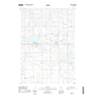
2019 Map of Waverly
USGS Topo · Published 2019About this map
Waverly and Montrose anchor this Wright County landscape, positioned along a transport corridor between a dense network of glacial lakes and wetlands. The area is defined by its numerous water bodies, including the centrally located Waverly Lake and the winding North Fork Crow River in the northeast. This 2019 survey shows a mix of established town grids and newer residential developments like Pheasant Rdg and Breckenridge Ln, illustrating the modern growth patterns of these rural communities.
Find a feature on this map
74 named features on this map. Tap any name to fly to it.
Don’t see what you’re looking for? This feature index may not catch every label — zoom into the map to look around manually.
Map Details
Editions of this 2019 Waverly Map
This is the sole edition of this map. No revisions or reprints were ever made.
Other maps of this area

1953 · Saint Paul
USGS Topo · 1:250,000

1953 · New Ulm
USGS Topo · 1:250,000

1953 · Saint Cloud
USGS Topo · 1:250,000

1953 · Stillwater
USGS Topo · 1:250,000

1955 · Stillwater
USGS Topo · 1:250,000

1957 · Saint Cloud
USGS Topo · 1:250,000

1957 · New Ulm
USGS Topo · 1:250,000

1957 · Waconia
USGS Topo · 1:62,500

1958 · New Ulm
USGS Topo · 1:250,000

1958 · Stillwater
USGS Topo · 1:250,000
Featured Places
- Montrose, MN
- Waverly, MN
- Montrose Manor Mobile Home Park, Montrose
- Rockford Township, MN
- Franklin Township, MN