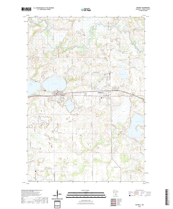
2022 Map of Waverly
USGS Topo · Published 2022About this map
The North Fork Crow River and its tributary, Twelvemile Cr, define the drainage of this central Minnesota landscape. The townships are marked by a high density of wetlands and named basins, including Big Marsh, Malardi Lake, and Carrigan Lake. Settlement centers on the neighboring communities of Waverly and Montrose, which are linked by a primary east-west transportation corridor that parallels the south shore of Waverly Lake.
Find a feature on this map
100 named features on this map. Tap any name to fly to it.
Don’t see what you’re looking for? This feature index may not catch every label — zoom into the map to look around manually.
Map Details
Editions of this 2022 Waverly Map
This is the sole edition of this map. No revisions or reprints were ever made.
Other maps of this area

1953 · Saint Paul
USGS Topo · 1:250,000

1953 · New Ulm
USGS Topo · 1:250,000

1953 · Saint Cloud
USGS Topo · 1:250,000

1953 · Stillwater
USGS Topo · 1:250,000

1955 · Stillwater
USGS Topo · 1:250,000

1957 · Saint Cloud
USGS Topo · 1:250,000

1957 · New Ulm
USGS Topo · 1:250,000

1957 · Waconia
USGS Topo · 1:62,500

1958 · New Ulm
USGS Topo · 1:250,000

1958 · Stillwater
USGS Topo · 1:250,000
Featured Places
- Montrose, MN
- Waverly, MN
- Marysville Township, MN
- Woodland Township, MN
- Twelve Hi Mobile Home Estates, MN