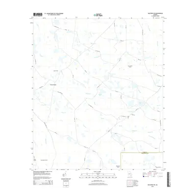
2014 Map of Waycross SW
USGS Topo · Published 2014About this map
Three Points serves as the primary landmark in this corner of Ware County, where the landscape is defined by the intricate hydrology of the upper Suwannee River basin. The area is characterized by a complex network of "islands" and "strands"—topographical rises and slow-moving water channels typical of the Georgia coastal plain. Notable landforms such as Bush Island and Black River Island emerge from the surrounding wetlands, while Bear Belly Strand and Water Bay indicate the saturated nature of the local environment.
Find a feature on this map
49 named features on this map. Tap any name to fly to it.
Don’t see what you’re looking for? This feature index may not catch every label — zoom into the map to look around manually.
Map Details
Editions of this 2014 Waycross SW Map
This is the sole edition of this map. No revisions or reprints were ever made.
Other maps of this area

1953 · Waycross
USGS Topo · 1:250,000

1954 · Valdosta
USGS Topo · 1:250,000

1958 · Valdosta
USGS Topo · 1:250,000

1958 · Waycross
USGS Topo · 1:250,000

1959 · Valdosta
USGS Topo · 1:250,000

1965 · Dinner Pond
USGS Topo · 1:24,000

1966 · Cravens Island
USGS Topo · 1:24,000

1967 · Waycross SE
USGS Topo · 1:24,000

1967 · Spooner
USGS Topo · 1:24,000

1967 · Waycross West
USGS Topo · 1:24,000