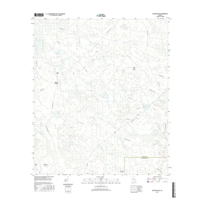
2017 Map of Waycross SW
USGS Topo · Published 2017About this map
Three Points serves as a central junction within a complex network of wetlands and seasonal watercourses at the headwaters of the Suwannee River system. This 2017 study illustrates the delicate hydrological balance of the Okefenokee fringe, where islands of higher ground like Bush Island and Black River Island rise above a labyrinth of named depressions and swamps. These features, including the uniquely named Tom Thumb Bay and Bear Belly Swamp, demonstrate the local vernacular for the region's distinct "bays"—shallow, oval-shaped wetland basins. Human presence is sparse, defined primarily by long-established timber and access routes such as Eight Mile Post Rd and Swamp Perimeter Rd. Genealogical interest is anchored by the Carter Cem, located near the intersection of Old Swamp Rd and Co Rd 15, marking one of the few named historic sites in this remote landscape where the Ware and Charlton county lines meet.
Find a feature on this map
48 named features on this map. Tap any name to fly to it.
Don’t see what you’re looking for? This feature index may not catch every label — zoom into the map to look around manually.
Map Details
Editions of this 2017 Waycross SW Map
This is the sole edition of this map. No revisions or reprints were ever made.
Other maps of this area

1953 · Waycross
USGS Topo · 1:250,000

1954 · Valdosta
USGS Topo · 1:250,000

1958 · Valdosta
USGS Topo · 1:250,000

1958 · Waycross
USGS Topo · 1:250,000

1959 · Valdosta
USGS Topo · 1:250,000

1965 · Dinner Pond
USGS Topo · 1:24,000

1966 · Cravens Island
USGS Topo · 1:24,000

1967 · Waycross SE
USGS Topo · 1:24,000

1967 · Spooner
USGS Topo · 1:24,000

1967 · Waycross West
USGS Topo · 1:24,000