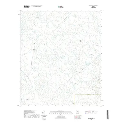
2020 Map of Waycross SW
USGS Topo · Published 2020About this map
The low-lying swamp and bay landscape of Ware County and Charlton County dominates this region south of Waycross, where water and land merge in a complex network of wetlands. Small islands of higher ground, such as Bush Island, Black River Island, and Hog Gallus Island, stand out amidst a labyrinth of drainage channels including Alligator Creek and Suwannee Creek. The terrain is characterized by numerous "bays" — shallow, oval depressions unique to the Coastal Plain — including Tom Thumb Bay, Gooding Bay, and Pittman Bay.
Find a feature on this map
46 named features on this map. Tap any name to fly to it.
Don’t see what you’re looking for? This feature index may not catch every label — zoom into the map to look around manually.
Map Details
Editions of this 2020 Waycross SW Map
This is the sole edition of this map. No revisions or reprints were ever made.
Other maps of this area

1953 · Waycross
USGS Topo · 1:250,000

1954 · Valdosta
USGS Topo · 1:250,000

1958 · Valdosta
USGS Topo · 1:250,000

1958 · Waycross
USGS Topo · 1:250,000

1959 · Valdosta
USGS Topo · 1:250,000

1965 · Dinner Pond
USGS Topo · 1:24,000

1966 · Cravens Island
USGS Topo · 1:24,000

1967 · Waycross SE
USGS Topo · 1:24,000

1967 · Spooner
USGS Topo · 1:24,000

1967 · Waycross West
USGS Topo · 1:24,000