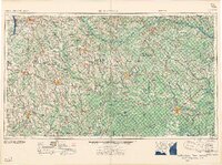
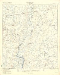
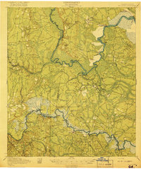
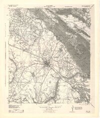
1958 Map of Waycross
USGS Topo · Published 1958About this map
Waycross serves as a major rail and road junction in South Georgia during the mid-1950s, anchoring a landscape defined by expansive wetlands and timber country. The southeastern corner is dominated by the northern reaches of the Okefenokee National Wildlife Refuge, while the surrounding terrain is a network of named depressions and water bodies including Knocknocker Swamp, Arabia Swamp, and Banks Lake. Agriculture and forestry are evidenced by numerous mill ponds such as Mercer Mill Pond and Whiddons Mill Pond.
Find a feature on this map
160 named features on this map. Tap any name to fly to it.
Don’t see what you’re looking for? This feature index may not catch every label — zoom into the map to look around manually.
Map Details
Editions of this 1958 Waycross Map
2 editions found

Other maps of this area
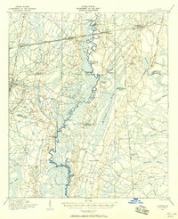
1917 · Nahunta
USGS Topo · 1:62,500

1917 · Boulogne
USGS Topo · 1:62,500
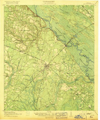
1918 · Jesup
USGS Topo · 1:62,500

1918 · Folkston
USGS Topo · 1:62,500
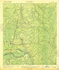
1918 · Hortense
USGS Topo · 1:62,500
1918 · Nahunta
USGS Topo · 1:62,500

1919 · Claxton
USGS Topo · 1:62,500
1919 · Boulogne
USGS Topo · 1:62,500

1920 · Glennville
USGS Topo · 1:62,500
1943 · Jesup
USGS Topo · 1:62,500