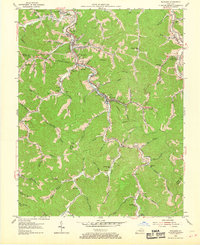
1954 Map of Wayland
USGS Topo · Published 1969About this map
Beaver Creek and the Chesapeake and Ohio RR carve through the deep hollows of the eastern Kentucky coalfields in this mid-century topographic record. The landscape is defined by a dense network of valley settlements, from Bosco (Hueysville PO) in the north to the mining-related communities of Wayland and Glo. The rugged topography of the Floyd and Knott County line is dotted with numerous one-room schoolhouses and family landmarks, including Stonecoal Sch, Dark Hollow Sch, and Collins Cabin.
Find a feature on this map
80 named features on this map. Tap any name to fly to it.
Don’t see what you’re looking for? This feature index may not catch every label — zoom into the map to look around manually.
Map Details
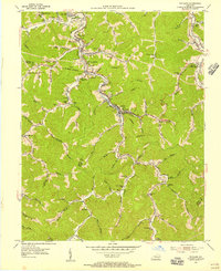
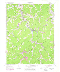
Editions of this 1954 Wayland Map
3 editions found
Other maps of this area

1886 · Prestonsburg
USGS Topo · 1:125,000

1890 · Whitesburg
USGS Topo · 1:125,000

1892 · Whitesburg
USGS Topo · 1:125,000

1892 · Prestonsburg
USGS Topo · 1:125,000

1912 · Hindman
USGS Topo · 1:48,000

1914 · Laynesville
USGS Topo · 1:48,000

1914 · Vergie
USGS Topo · 1:48,000

1915 · Prestonsburg
USGS Topo · 1:62,500

1915 · Hindman
USGS Topo · 1:62,500

1916 · Harold
USGS Topo · 1:62,500