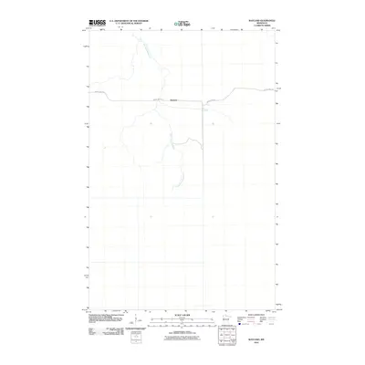
2010 Map of Wayland
USGS Topo · Published 2010About this map
Wayland serves as a small focal point in this sparsely settled region of Koochiching County during the early twenty-first century. The landscape is defined by the wandering path of the East Fork Rapid River, which meanders through the terrain from north to south. Human activity and access are concentrated along Indian Pines Rd, the primary east-west corridor crossing the river near the settlement area. This 2010 survey reflects a quiet, largely undeveloped territory, where the road and the river provide the essential landmarks for local navigation and land identification.
Find a feature on this map
3 named features on this map. Tap any name to fly to it.
Don’t see what you’re looking for? This feature index may not catch every label — zoom into the map to look around manually.
Map Details
Editions of this 2010 Wayland Map
This is the sole edition of this map. No revisions or reprints were ever made.
Other maps of this area

1919 · Birchdale
USGS Topo · 1:62,500

1919 · I
USGS Topo · 1:62,500

1954 · Roseau
USGS Topo · 1:250,000

1957 · Roseau
USGS Topo · 1:250,000

1958 · Roseau
USGS Topo · 1:250,000

1968 · Birchdale SW
USGS Topo · 1:24,000

1968 · Clementson SW
USGS Topo · 1:24,000

1968 · Clementson SE
USGS Topo · 1:24,000
1973 · Wayland SW
USGS Topo · 1:24,000
1973 · The Pines
USGS Topo · 1:24,000