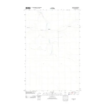
2013 Map of Wayland
USGS Topo · Published 2013About this map
Wayland and the surrounding wilderness of northern Minnesota are defined by the meandering path of the E Fork Rapid River, which flows through the heart of this landscape. The terrain is notably sparse, characteristic of the expansive wetland and forest environments of Koochiching County. Human presence is centered on the Wayland settlement area, where Indian Pines Rd provides one of the few established transportation corridors through the region. This 2013 survey illustrates a quiet, rural pocket of the North Woods where the natural drainage of the river system remains the primary geographic feature, and large-scale development is absent in favor of timberland and conservation areas.
Find a feature on this map
3 named features on this map. Tap any name to fly to it.
Don’t see what you’re looking for? This feature index may not catch every label — zoom into the map to look around manually.
Map Details
Editions of this 2013 Wayland Map
This is the sole edition of this map. No revisions or reprints were ever made.
Other maps of this area

1919 · Birchdale
USGS Topo · 1:62,500

1919 · I
USGS Topo · 1:62,500

1954 · Roseau
USGS Topo · 1:250,000

1957 · Roseau
USGS Topo · 1:250,000

1958 · Roseau
USGS Topo · 1:250,000

1968 · Birchdale SW
USGS Topo · 1:24,000

1968 · Clementson SW
USGS Topo · 1:24,000

1968 · Clementson SE
USGS Topo · 1:24,000
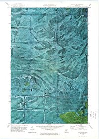
1973 · Wayland SW
USGS Topo · 1:24,000
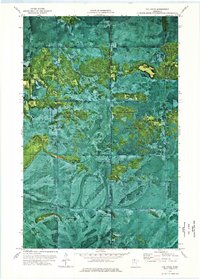
1973 · The Pines
USGS Topo · 1:24,000