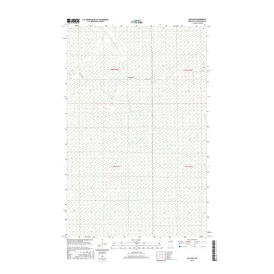
2016 Map of Wayland
USGS Topo · Published 2016About this map
Wayland sits at the center of this 2016 survey, a remote settlement landscape defined by the winding course of the Rapid River and its tributary, the Fork Rapid River. The map illustrates the specialized terrain of northern Minnesota's Koochiching County, where the hydrological patterns of the river system dominate the vast, low-lying wetlands. Human activity in the area is largely oriented around the local road network, specifically Indian Pines Rd and Pines Rd, which provide access through the dense township and range grid sections of t158n r29w and surrounding areas. This documentation captures the modern character of a region where the natural water drainage remains the primary geographic feature, influencing both the limited residential footprint and the surrounding environment.
Find a feature on this map
9 named features on this map. Tap any name to fly to it.
Don’t see what you’re looking for? This feature index may not catch every label — zoom into the map to look around manually.
Map Details
Editions of this 2016 Wayland Map
This is the sole edition of this map. No revisions or reprints were ever made.
Other maps of this area

1919 · Birchdale
USGS Topo · 1:62,500

1919 · I
USGS Topo · 1:62,500

1954 · Roseau
USGS Topo · 1:250,000

1957 · Roseau
USGS Topo · 1:250,000

1958 · Roseau
USGS Topo · 1:250,000

1968 · Birchdale SW
USGS Topo · 1:24,000

1968 · Clementson SW
USGS Topo · 1:24,000

1968 · Clementson SE
USGS Topo · 1:24,000
1973 · Wayland SW
USGS Topo · 1:24,000
1973 · The Pines
USGS Topo · 1:24,000