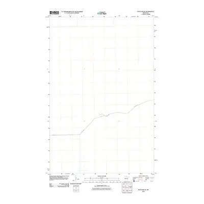
2010 Map of Wayland SE
USGS Topo · Published 2010About this map
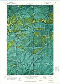
The northern forests of Koochiching County characterize this landscape as it appeared during the summer of 2009. This specific area is remarkably sparse, representing a remote stretch of Minnesota timberland where human infrastructure is nearly absent. The primary corridor through this section of the county is Forest Rd 96, which winds through the terrain as the sole named navigational feature. The absence of settlements, schools, or named water bodies on this sheet highlights the isolated nature of the region, where the U.S. Geological Survey focused on capturing the essential topography and forest road network for land management and conservation purposes.
Find a feature on this map
1 named feature on this map. Tap any name to fly to it.
Don’t see what you’re looking for? This feature index may not catch every label — zoom into the map to look around manually.
Map Details
Editions of this 2010 Wayland SE Map
This is the sole edition of this map. No revisions or reprints were ever made.
Other maps of this area

1919 · Lundgren
USGS Topo · 1:62,500

1919 · Norden
USGS Topo · 1:62,500

1919 · I
USGS Topo · 1:62,500

1954 · Roseau
USGS Topo · 1:250,000

1957 · Roseau
USGS Topo · 1:250,000

1958 · Roseau
USGS Topo · 1:250,000
1973 · Ridge NW
USGS Topo · 1:24,000
1973 · Norman Lake
USGS Topo · 1:24,000
1973 · Wayland SW
USGS Topo · 1:24,000
1973 · The Pines
USGS Topo · 1:24,000