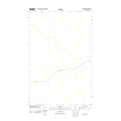
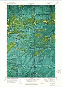
2013 Map of Wayland SE
USGS Topo · Published 2013About this map
Forest Rd 96 provides the primary corridor through this landscape of northern Koochiching County. The terrain is defined by subtle elevation changes and expansive wetlands, typical of the Minnesota northwoods during the early twenty-first century. Minimal infrastructure suggests a region primarily dedicated to timber management or conservation, with few permanent structures or named settlements recorded in this particular area. The lack of dense development highlights the dominance of the natural drainage patterns and the management of the woods via the existing forest road network.
Find a feature on this map
1 named feature on this map. Tap any name to fly to it.
Don’t see what you’re looking for? This feature index may not catch every label — zoom into the map to look around manually.
Map Details
Editions of this 2013 Wayland SE Map
This is the sole edition of this map. No revisions or reprints were ever made.
Other maps of this area

1919 · Lundgren
USGS Topo · 1:62,500

1919 · Norden
USGS Topo · 1:62,500

1919 · I
USGS Topo · 1:62,500

1954 · Roseau
USGS Topo · 1:250,000

1957 · Roseau
USGS Topo · 1:250,000

1958 · Roseau
USGS Topo · 1:250,000
1973 · Ridge NW
USGS Topo · 1:24,000
1973 · Norman Lake
USGS Topo · 1:24,000
1973 · Wayland SW
USGS Topo · 1:24,000
1973 · The Pines
USGS Topo · 1:24,000