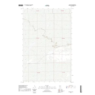
2019 Map of Wayland SE
USGS Topo · Published 2019About this map
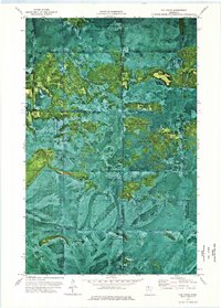
Wetlands and public land survey boundaries define this remote northern landscape in Koochiching County. The terrain is characterized by extensive hydrologic networks as recorded by the National Hydrography Dataset, with the map's most prominent man-made feature being Pine Island Rd, which traverses the southern half of the quadrangle. This area, largely defined by the township divisions of t156n r29w and t155n r29w, represents the sparsely populated interior of the Minnesota Northwoods, where the landscape is shaped more by natural water drainage and forestry management than by urban development.
Find a feature on this map
7 named features on this map. Tap any name to fly to it.
Don’t see what you’re looking for? This feature index may not catch every label — zoom into the map to look around manually.
Map Details
Editions of this 2019 Wayland SE Map
This is the sole edition of this map. No revisions or reprints were ever made.
Other maps of this area

1919 · Lundgren
USGS Topo · 1:62,500

1919 · Norden
USGS Topo · 1:62,500

1919 · I
USGS Topo · 1:62,500

1954 · Roseau
USGS Topo · 1:250,000

1957 · Roseau
USGS Topo · 1:250,000

1958 · Roseau
USGS Topo · 1:250,000
1973 · Ridge NW
USGS Topo · 1:24,000
1973 · Norman Lake
USGS Topo · 1:24,000
1973 · Wayland SW
USGS Topo · 1:24,000
1973 · The Pines
USGS Topo · 1:24,000