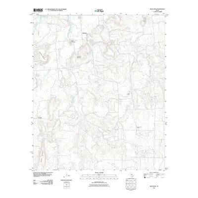
2011 Map of Wayland
USGS Topo · Published 2011About this map
Wayland and Gunsight occupy the heart of this landscape where several branches of Gunsolus Creek converge. The topography is defined by a series of prominent peaks, including Bald Mountain, Maxwell Mountain, and Gunsight Mountain, which rise sharply from the surrounding creek bottoms. To the northeast, Steal Easy Mountain and Brown Pen Mountain further complicate the terrain, reflecting the character of this Stephens County region.
Find a feature on this map
17 named features on this map. Tap any name to fly to it.
Don’t see what you’re looking for? This feature index may not catch every label — zoom into the map to look around manually.
Map Details
Editions of this 2011 Wayland Map
This is the sole edition of this map. No revisions or reprints were ever made.
Other maps of this area

1890 · Breckenridge
USGS Topo · 1:125,000

1894 · Eastland
USGS Topo · 1:125,000

1954 · Abilene
USGS Topo · 1:250,000

1958 · Abilene
USGS Topo · 1:250,000

1961 · Buck Mountain
USGS Topo · 1:24,000

1966 · Cisco North
USGS Topo · 1:24,000

1966 · Eastland
USGS Topo · 1:24,000

1966 · Ranger
USGS Topo · 1:24,000
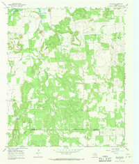
1967 · Wayland
USGS Topo · 1:24,000

1967 · Necessity
USGS Topo · 1:24,000